Route
How can you prepare a daily trip plan?

Does anyone else really get off on planning as much as I do?
Can you sit for hours with a set of topographical maps and trace potential routes? Or try to visualize the land you'll be traveling through? Will that portage be high and dry or through a low lying area? Where are the possible campsites? Is this river navigable in both directions?
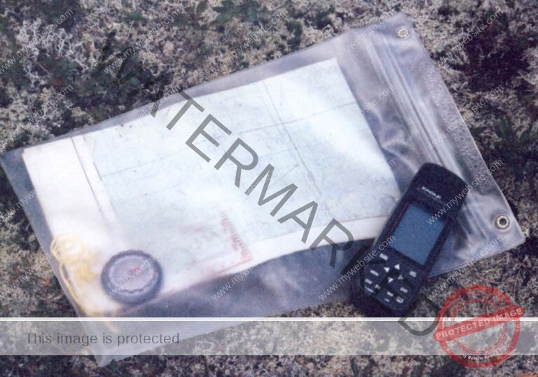
You can only imagine my excitement as I sat with the park map and transcribed the portages onto a set of maps that I'd printed from Fugawi. These were the initial planning set and were done at 1:105,000 so that I could put them up in our study as the initial step in route planning.
Remember, we wanted to use drive in access points; we wanted to avoid people as much as possible; we didn't want to see any lake or river twice; we wanted to visit all the pictograph sites in the park and we wanted to explore areas that we assumed would not get many visitors.
Since the park is visited by less than a thousand people each year we shouldn't have any trouble avoiding the crowds – our decision was to leave the central area of the park for the latter part of the trip. That would keep us away from the Leano access point which provides easy access to the center of the park and which sees about 70% of all the visitors.
We wanted to schedule the most strenuous portion of the trip within the first month. That's when we felt that we'd have most of our energy.
Most of the long portages are to the north and west sides of the park so we thought that we'd tackle that section first … but first let's mark up the maps with all the pictograph sites … then add the campsites that Albert knows about (just in case we want to put in a long day and not worry about finding a place) … then add the fishing camps so that we know where help might be…. And lastly, plot an initial route and try to get a sense of possible distances each day.
Over the years we've developed a spreadsheet that helps us to plan our day's journeys. It considers the total distance for the day, the total number of portages, the total portage distance, our paddling speed, our portage speed and how many load bearing trips across each portage. Sounds complicated but after you enter some constants it almost takes care of itself.
Try using it to plan your trips.
How about the weather we may encounter; what are sunrise and sunset times; average temperatures, average rainfall & number of rain days, prevailing wind direction and speed ….
This information is available from wunderground history. wunderground.com
Now that we know what we've got to work with let's start measuring some distances and see if they're possible. I usually just use some dental floss on which I mark five kilometer distances. This is just the first go so I don't worry too much about being ultra-accurate. I do however try to compensate for upstream and downstream travel – I tend to double upstream distances (especially on narrow, meandering streams) and deduct on downstream passages only for straight runs on rivers (narrow or slow sections get no deduction – I figure there'll be liftovers to contend with).
I also chatted with Albert about particular sections of the park where it looked like a lot of stream work might be impacted by low water levels. He advised that indeed some of his previous clients had reported low water levels late in the summer on some stretches. This did not keep us from planning those stretches – it just armed us with the information necessary to plan for some longer possible days.
Consideration was given to the ease of resupply. Obviously we couldn't plan a resupply along a stream but we could organize our trip such that the resupply flights could be as short as possible by trying to get resupplied toward the center or eastern edge of the park.
Then there's the inclusion of rest days. We wanted to schedule a rest day about every five days – but they had to be in a place where we figured that the fishing would be good or a place we'd like to explore.
Remember that rest days aren't all rest. There are a lot of chores to attend to. Mainly the washing of clothes, the writing of journals and the reorganization of equipment and food for the next few days.
All that done we now have a pretty good idea of our route and daily schedule. Now we use maps printed to a scale of 1:75000 to do our final planning and make adjustments to the travel spreadsheet.
We look for days that seem too long and try to back them up with some shorter days in case we have trouble along the way. We try to plan the crossing of larger bodies of water so that they'll occur in the morning before the wind comes up – and we scan the schedule for possible difficulties – weather or travel related – after all, we do have resupply appointments to keep.
When all was said and done – here's the planning spreadsheet – I included links to some maps to give you an idea of where we'd be each day.
© 2020 canoecouple.com All Rights Reserved.